Sugar Bowl has closed for the season, closing out a year defined by community and shared mountain moments. Thank you to all who joined us, and don’t forget season pass prices increase April 10.
Discover 1,650 skiable acres, 1,500 feet of vertical, and an average of 500+ inches of snowfall every year. With four distinct peaks and two convenient portals — Main Lodge for day access and Village Gondola for season passhoders + overnight guests — Sugar Bowl offers big-mountain terrain with small-mountain ease.
Find your line, plan your route, and explore all sides of Tahoe’s most historic mountain.
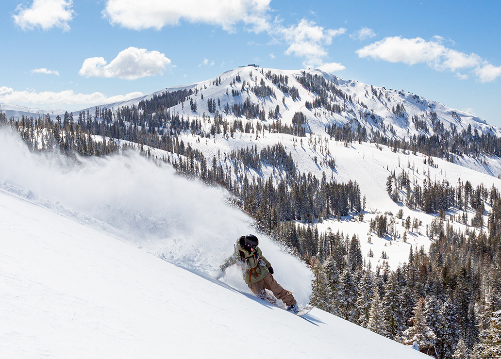
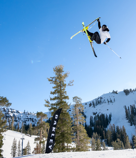
From first chair to last run, Sugar Bowl’s four mountains — Judah, Lincoln, Disney, and Crow’s — offer a perfect mix of challenge and charm. Study the Resort Map to plan your route: carve wide-open groomers, hunt powder in sheltered trees, or link lifts to explore the mountain’s full span. Every line tells a new story, whether you’re here for the thrill, the views, or the quiet glide home.
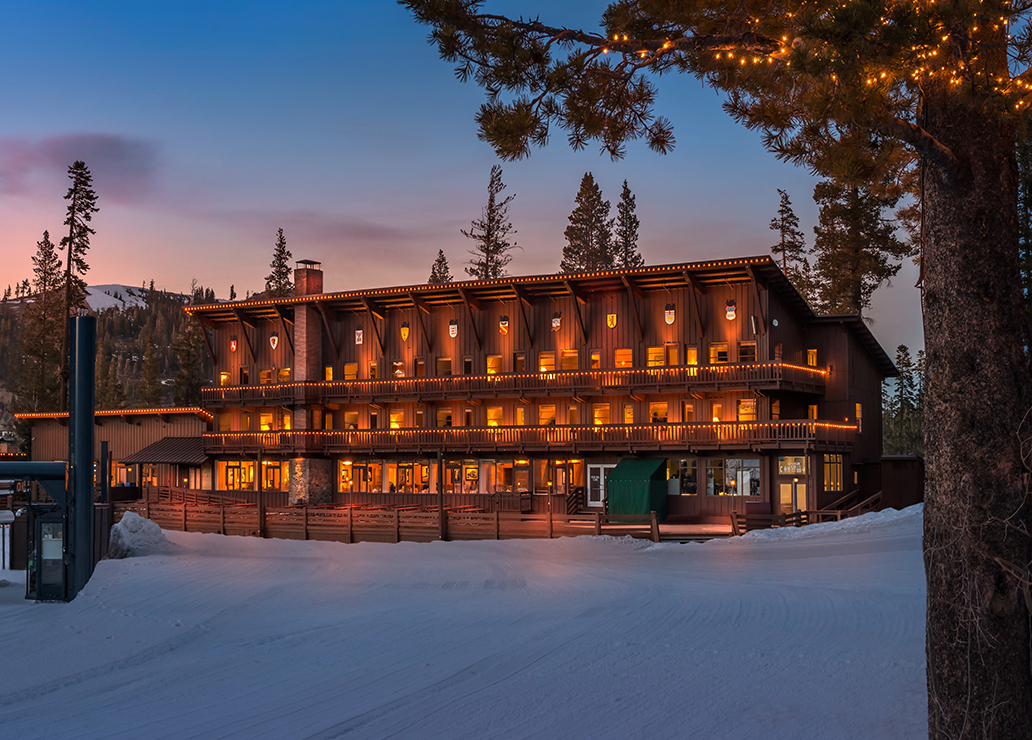
For guests who stay overnight, the Snowbound Village is a rare alpine escape — ski-in, ski-out lodging surrounded by silence and snow. Here, every trail ends where comfort begins.
Just beyond Sugar Bowl’s downhill peaks lies Royal Gorge Cross Country Resort. Over 6,000 acres of rolling trails, sparkling meadows, and forested loops invite you to slow down and stretch out your stride. Whether you’re skate skiing, classic striding, or snowshoeing for the view, the Royal Gorge map opens the door to a whole new side of Donner Summit.